Contactez-nous :
Contact us
ACCUEIL DES PLAISANCIERS
Welcome boaters
Bureau du port de plaisance/MARINA OFFICE
Tél. 02 96 77 49 85
Du lundi au vendredi, de 9h à 12h et de 14h à 18h. Le samedi, de 14h à 17h
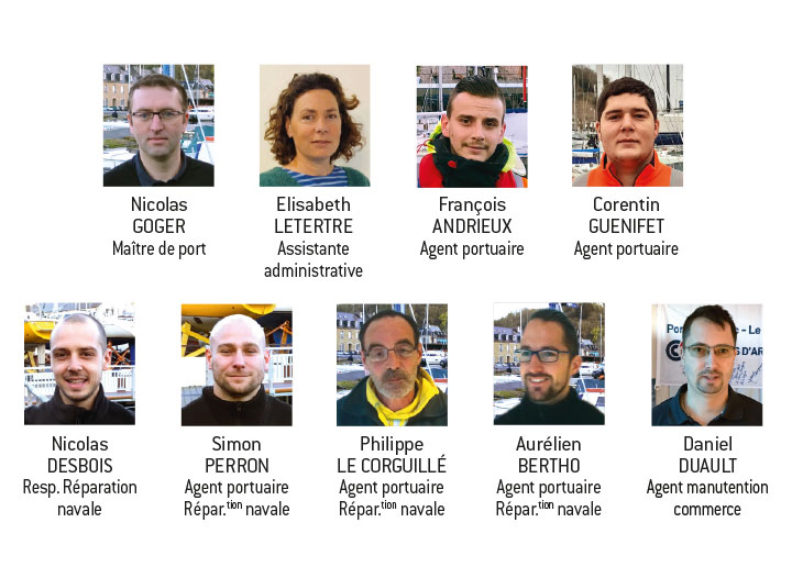
Capitainerie / PORT DE COMMERCE
HARBOUR OFFICE / commercial harbour
Port du Légué, SAINT-BRIEUC
Tél. 02 96 33 35 41 – VHF 12
Ouverture : 9h – 12h / 14h – 17h30
Le port du légué est situé sur le fleuve du gouët à 1 mile environ de l’embouchure
The harbor of the légué is located on the river gouët about 1 mile from the mouth
Écluses
LOCK
Tél. 02 99 20 52 10 – VHF 12
En mortes eaux : ouverture de l’écluse 1h15 avant pm/fermeture 1h après pm (amplitude min)
En vives eaux : ouverture de l’écluse 2h avant pm / fermeture 1h30 après pm (amplitude max) selon le coefficient de marée, se référer aux tableaux des instructions nautiques.
On neap tides : opening of the lock 1h15 before pm / closing 1h after pm
On spring tide : opening of the lock 2h before pm / closing 1h30 after pm according to the tidal coefficient, refer to the tables of the sailing instructions.
LIMITATION DE VITESSE
SPEED LIMIT
Aux abords et dans le port du Légué, la vitesse est limitée à 3 nœuds, puis réduite à 1,5 nœud les écluses passées.
In the vicinity and in the port of the Légué, the speed is limited to 3 knots, then reduced to 1,5 knots past the locks.
ENTRÉE ET SORTIE DU PORT
PORT ENTRY AND EXIT
Amer
DAYMARK
Pointe du Roselier,
visible à 8 M par temps clair.
Visible at 8 M on a clear day.
Approche
APPROACH
L’Embouchure du Légué est marquée :
The mouth of the Légué is marked :
Au S : par le phare du môle E
to the South by the lighthouse of the pier E.
(F. sc.rap.R.4m).
Au N : jetée et phare Pointe de l’Aigle (48°32, 2N-002°43,1W)
(F.sc.rap.v.8M, vis. 160/070 (270°) ;
Au SW : tours carrées de l’église Saint-Michel (immeubles).
Approche de nuit
NIGHT APPROACH
Bouée d’atterrissage / landing buoy « Le Légué » (marque d’eaux saines /
Healthy water mark 48°34,3 N – 002°41,2 w) F. MO (A) B. 12 s, radar. Dans le / In the 210° (C.V.), puis les bouées lum : / then the buoys lum :
n° 1 (F.é.v.2,5s) & n° 2 (F.é.r.2,3s)
marquent l’entrée du chenal à 0,5 M du phare de la pointe de l’Aigle.
mark the entrance of the channel at 0.5 M from the lighthouse of the pointe de l’Aigle.
Chenal balisé jusqu’au sas d’accès aux bassins.
Channel marked up to the access chamber to the basins.
Danger : Bancs mouvants et forts vents de NE.
Danger: Moving benches and strong NE winds.
RÈGLES DE CIRCULATION
Pour tout mouvement dans le port, prévenir l’écluse.
Priorité de circulation :
- Commerce et Pilotine
- Pêche
- Plaisance
TRAFFIC RULES
For any movement in the harbor, prevent the lock.
Traffic Priority:
- Trade and Pilotine
- Fishing
- Plaisance